
360° & LiDAR Spatial Documentation
Interactive 360° walkthroughs, LiDAR-measured floor plans, room dimensions, and visual documentation for space planning, layout reference, existing-condition records, commercial interiors, and facility management.
Captured with iGUIDE® PLANIX technology.
Request a Site AssessmentSee the Space. Understand the Layout.
Move through the facility remotely while referencing LiDAR-measured floor plans, room dimensions, and visible existing conditions captured during one coordinated site visit.
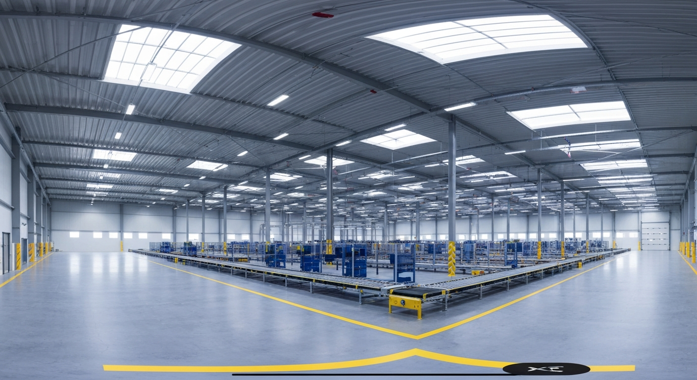
Interactive 360° Facility Walkthrough
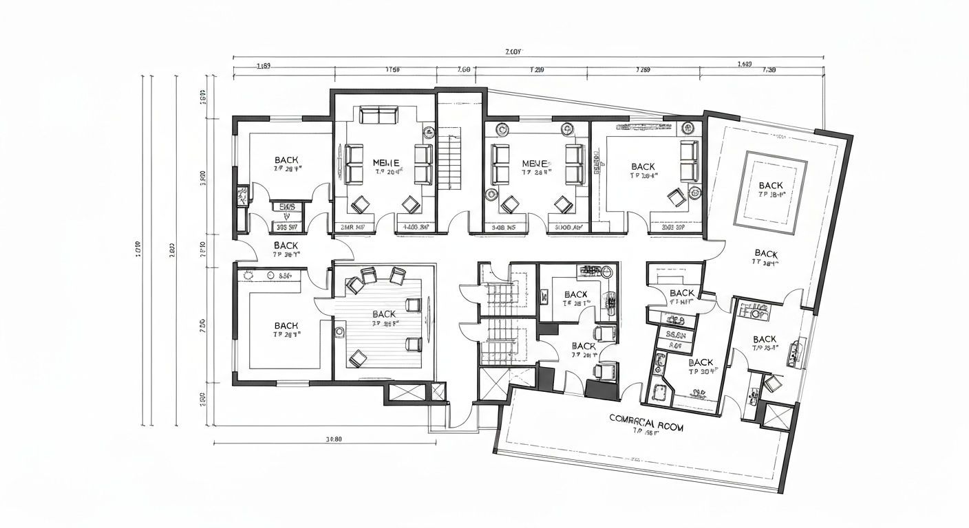
LiDAR-Measured Floor Plan
Service Benefits
Eliminate costly site visits by empowering stakeholders to explore spaces remotely
Accelerate renovation planning with measured layouts and visual existing-condition context
Mitigate liability with timestamped visual proof of existing interior conditions
Streamline facility management with an interactive 360° property record of your assets
Enhance tenant and buyer confidence with transparent, immersive property views
Centralize your property documentation into an easily shareable, interactive archive
Built For
Facility & Operations Managers
Eliminate costly site visits by giving stakeholders a walkable digital twin they can explore remotely, anytime.
Architects & Renovation Teams
Support early planning with measured floor plans, room dimensions, and visual existing-condition context that can reduce repeat site visits.
Commercial Real Estate Brokers
Enhance buyer and tenant confidence with transparent, immersive property views that shorten the sales cycle.
Property Owners & Asset Managers
Centralize documentation into one shareable, interactive archive that mitigates liability with proof of existing conditions.
Calculate Your Documentation ROI.
When existing conditions are poorly documented, teams rely on scattered photographs, repeat site visits, and incomplete information. See the potential financial exposure created by documentation gaps, avoidable travel, and condition-related disputes.
Slide to adjust ($10k - $1M)
Time spent traveling to verify site conditions
Undocumented Risk Exposure
$167,500
Based on an assumed $175/hr executive time cost — adjust to your organization's actual rate for a more precise estimate.
Based on the selected assumptions, this represents the potential financial impact of a dispute involving undocumented existing conditions, repeat site visits, or incomplete property records.
The Spatial Documentation Advantage
Indisputable Visual Proof.
Reduce unnecessary site visits and avoidable disputes with timestamped 360° imagery, LiDAR-measured layouts, and an organized visual property record.
Discuss Your Specific Liability Risks
Get a custom assessment of how 360° and LiDAR spatial documentation can protect your assets and eliminate costly disputes.